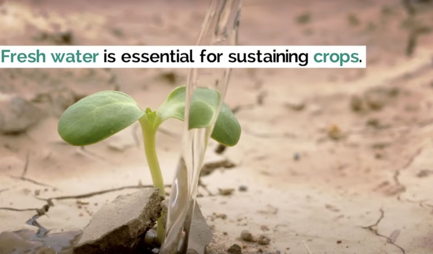
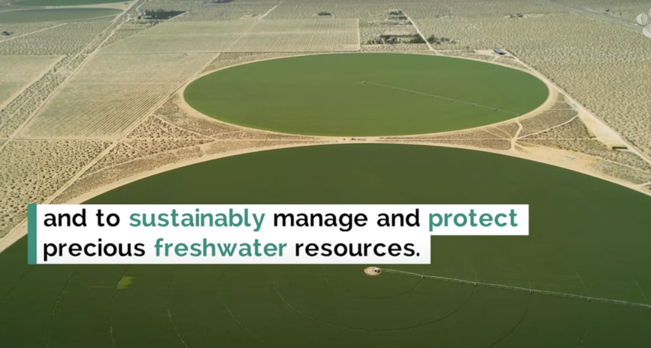
Groundwater is a vital non-renewable resource in Saudi Arabia that is overexploited, particularly by agriculture. To better manage our water, we need tools for improving yield by rationing water volume.
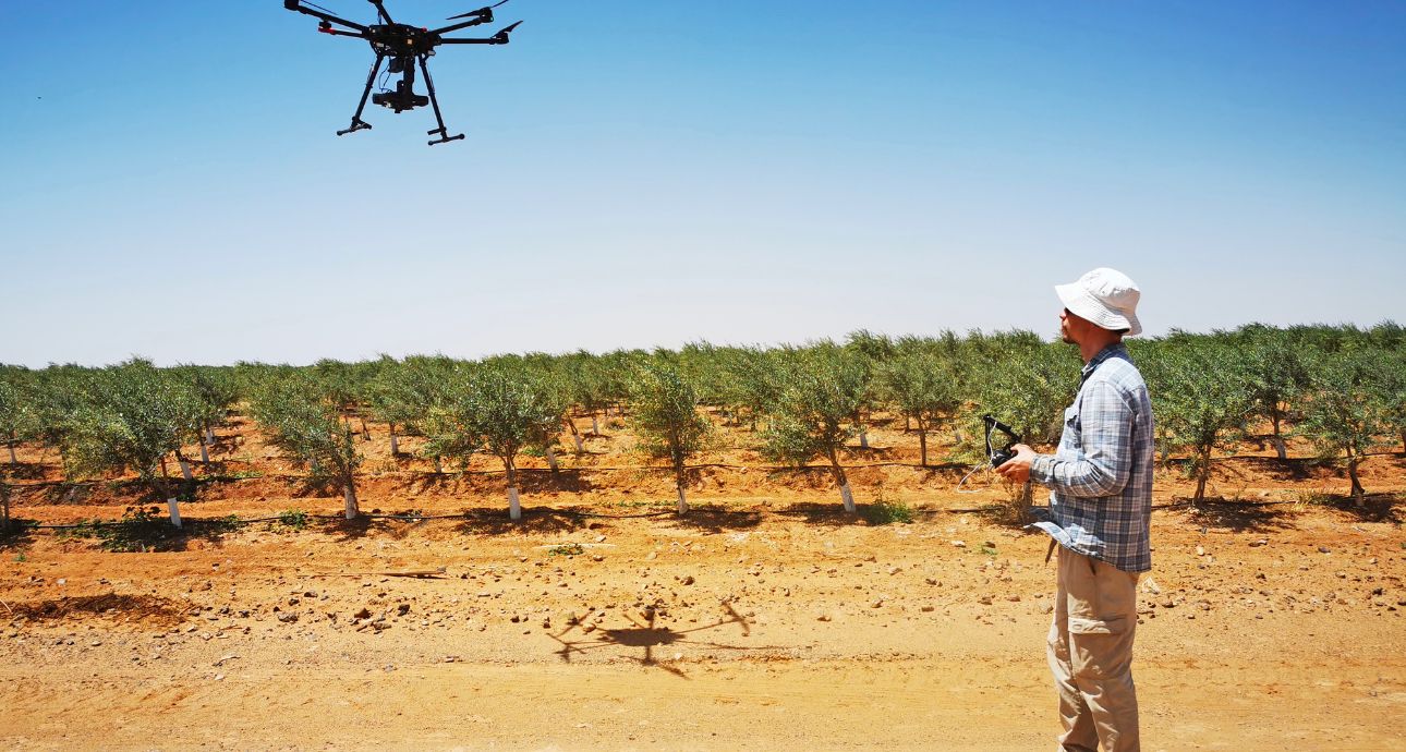
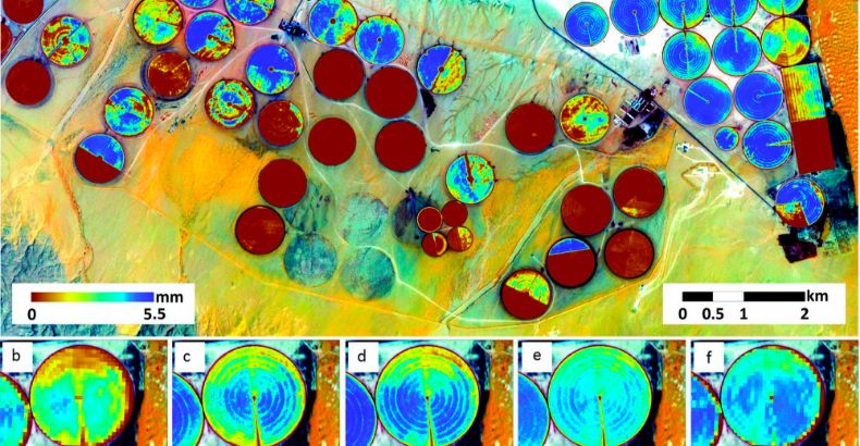
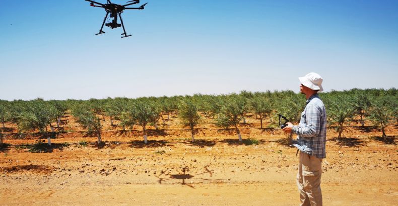
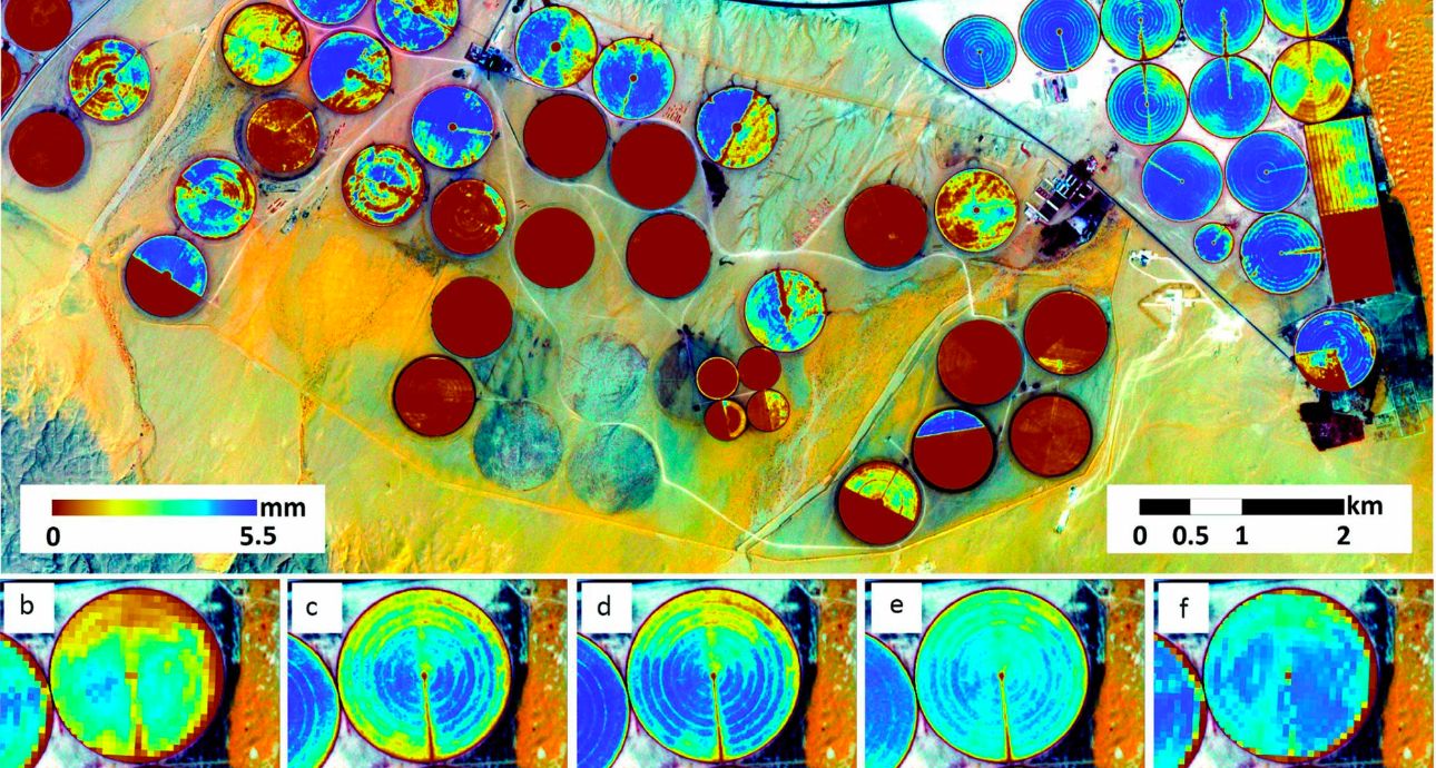
KAUST' is currently assessing space-based synthetic aperture radar (SAR) images for estimating and mapping water-uptake rates in olive groves in northern Saudi Arabia, one of the world’s largest olive-growing regions.
The Climate and Livability Initiative's project uses a combination of satellite monitoring, ground truthing, and machine learning to provide high-res images, water-uptake evapotranspiration rates, and root zone and soil surface moisture estimates in desert and crop areas, with the ultimate objective of optimizing irrigation activities, improving yield quality and saving irrigation water.